Get ready. We may be in this for the long haul.
A second or even third wave of COVID infections is likely to upend classes in the fall. Many school districts are already considering hybrid models, with students alternating between in-person and online learning. Project Based Learning — or any classroom learning — will have to adapt to the new world order. How do we maintain high quality standards of authentic, challenging, student-centered learning in this time of uncertainty?
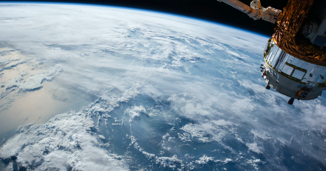
We've got one possible, even exciting, solution... We’ve been working on a tool, called Earthrise Education, to connect students to real-world investigations through satellite imagery. Earthrise facilitates interdisciplinary learning in the natural and social sciences for all potential classroom learning configurations.
The easiest way to describe the tool is through one of the first Earthrise investigations — a PBL project on natural resources and uncontacted indigenous people. High school students in Massachusetts and Iowa were challenged to find and measure illegal gold mines in the Yanomami territory of the Amazon using high-resolution satellite imagery.
It was like finding a few needles in a haystack the size of Venezuela. And they did it.
The geospatial data that the students generated is now the basis for a groundbreaking news story published by Reuters and Survival International, which has already garnered over 3M views.
The investigation hit the high notes of the PBL Gold Standard.
The investigation was authentic, motivated by a real-world problem that benefited from student work. The public product was viewed by millions, including local advocates in the Amazon who are using the information to make change. It was wildly challenging, requiring patience and data interpretation that is on par with professional data science.
Most notably, the tool has built-in critique and revision. This feature — peer review of student data — sets the Earthrise tool apart from other collaborative mapping platforms.
Each student’s work is reviewed by at least three other students. It’s like a proper Revise & Resubmit for peer-reviewed publications, except with data rather than prose. This process facilitates engaging dialogue between students as they evaluate the quality of their data. Data review is becoming a critical part of data science — which is one of the best jobs in the U.S.
The Earthrise platform nudges students through the practice of data science through real-world investigations.
There are thousands of investigations like this each year.
With satellite imagery, students can measure the extent of wildflower super blooms, track landscape recovery after wildfires, and monitor human rights offenses — as part of (not in addition to) — required curriculum content and skill standards in courses like Human Geography, World History, or Environmental Studies.
Earthrise is a work in progress. We are designing the tool based on a set of initial investigations, alongside a diverse set of students and educators. Astronaut Cady Coleman, who is part of the Earthrise Advisory Board, said it best when she introduced the Yanomami investigation to students by video: “We need many more people doing much more to protect our home planet — including and especially you!”
Please send us a note if you’d like to participate in these early investigations! Help us make this even better.
Earthrise Education is part of Earthrise Media, a 501(c)3 nonprofit project dedicated to the meaningful use of data about our home planet.

